Julia Mapping: A Practical Guide
Data mapping for people who just want the solutions.
This guide is designed specifically for non-programmers—academics, journalists, and researchers—who need to turn location data into insight without getting lost in the weeds of computer science. Experienced programmers looking for concrete examples of Julia in practical use will also find it of interest.
[Buy on Amazon Now: hardbound, paperback and Kindle https://www.amazon.com/author/richard_careaga){.btn .btn-primary}
Why Julia for Mapping?
- Speed: Render complex geospatial layers in seconds.
- Clarity: Syntax that easily translates to English.
- Open Source: No expensive GIS licenses required.
Example, a State Bin map of the 2024 election
using CairoMakie
using ColorSchemes
using CSV
using DataFrames
using StateBins
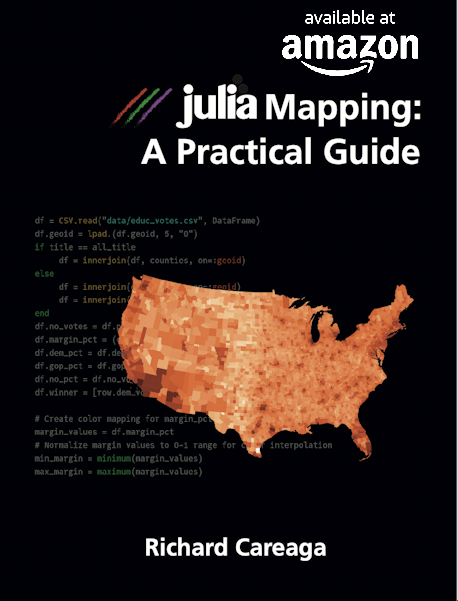
df = CSV.read("data/educ_votes.csv", DataFrame)
df.total_votes = df.dem_votes .+ df.gop_votes
grownups = combine(groupby(df, :state),
:population => sum => :population,
:total_votes => sum => :total_votes,
:gop_votes => sum => :gop_votes,
:dem_votes => sum => :dem_votes)
grownups.margin = ((grownups.gop_votes .- grownups.dem_votes) ./ grownups.total_votes) .* 100
statebins_makie(grownups, state_col="state", value_col="margin",
auto_size=false,
colorscheme=:coolwarm,
title="2024 GOP Margin as a Percent of Adult (over 25) Population",
colorbar_label="GOP Margin (%)",
marker_size=50,
font_size=12,
margin_factor=0.1,
show_colorbar=true)
Table of Contents
Sample Chapter
A Google NotebookLM Deep Dive Review of the Book
A Short Google NotebookLM Explainer for the Book
Part of a Series
![]()
Forthcoming titles
- Get started with the command line interface
- Julia for speakers of English (and other languages)
- Julia error messages and how to fix them
- The very basics of statistics with Julia
- Industrial strength data storage with Julia and PostgreSQL
- Advanced mapping with Julia and PostGIS
Publisher
![]()